Spatial Data Science
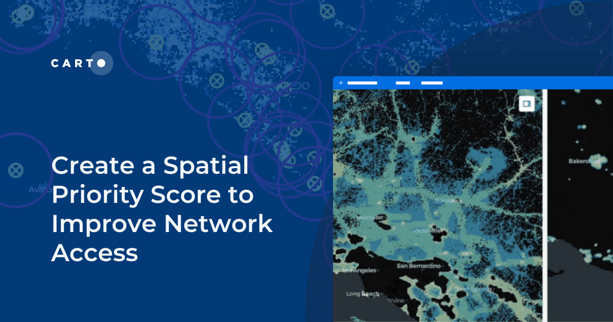


Create a Spatial Priority Score to Improve Network Access
Learn how to create a spatial priority score to improve network access for senior citizens. Explore data integration, regression models, and AI insights.


Analyzing Mobility Hotspots with MovingPandas & CARTO
Explore mobility hotspots with MovingPandas and CARTO. Tutorial on transforming trajectory data into space-time hotspots for intelligent decision-making.

Space-time hotspots: how to unlock a new dimension of insights
How to use Space-Time Clustering to generate insights & optimize decision making with this step-by-step guide.


Spatial Scoring: Measuring Merchant Attractiveness & Performance
Learn how to use Spatial Scoring for Merchant Prioritization in the CPG Industry. Optimize sales and reduce costs with this step-by-step guide.

Cannibalization Analysis: what is it & how can I use it?
Balance competing demands between multiple business locations with our 4-step guide to Cannibalization Analysis: from data collection to decision!


Boosting Retail & CPG Sales with Sentiment Analysis
Leverage sentiment analysis for retail growth. Explore Data Appeal's insights, using sentiment data for strategic business expansion. Free 14-day trial.

Spatial interpolation: which technique is best & how to run it
Fix missing or coarse data with Spatial Interpolation. Compare IDW and Kriging methods & follow along with tutorials!


Driving Decisions with Spatial Analysis: Vacation Rentals
Discover spatial trends in vacation rentals & relationships with land use, ft. tutorials on how to conduct this analysis and use it to drive decision-making.

Do you need to code for a career in data?
Exploring the role of coding in data careers | Do you need to learn, and which language is right for you? Low-code, SQL, Python, R, HTML & Javascript.

Using Spatial Composites for Climate Change Impact Assessment
Learn how to assess climate change risks with spatial composites; measure impacts and support decision-making for infrastructure & natural resources.

How Geographically Weighted Regression works
Find out what Geographically Weighted Regression (GWR) is, how it works, when to use it & how to use spatial indexes in conjunction.

How to Use Spatial Data to Create a Wildfire Risk Map
Mitigate wildfire risks with our guide on creating a Wildfire Risk Map. Explore spatial analysis using Weather Source & CARTO for informed decision-making.

Academy

5 things we’re excited for at SDSC London 2024
Discover the latest in Spatial Data Science at SDSC London 2024! From climate risk management to AI solutions - get your tickets now!

Transforming Data Center Locations for Nautilus Data Technologies
Learn how we are collaborating with Google Cloud to provide Nautilus Data Technologies with an innovative solution for data center site selection and monitoring.

What's New in CARTO - Q1 2024
Explore the latest CARTO platform features unveiled in Q1 2024! Trigger workflows via API, control your maps via URL, the all-new CARTO Academy - and more!